


Addressing the Escalation in GNSS Spoofing with Data Fusion

Written by Freddy Saunders
Senior Data Scientist
Addressing the Escalation in GNSS Spoofing with Data Fusion
The grounding incident involving the MSC ANTONIA serves as a clear reminder of the critical need for resilient navigation systems in the maritime sector. As GNSS jamming and spoofing become more frequent, particularly in high-risk regions, vessels must be equipped with systems that can maintain accurate positioning even when satellite signals are compromised, explains Freddy Saunders, Senior Data Scientist at Plextek.
Note: GNSS refers to any Global Navigation Satellite System. There are several satellite constellations in use around the world that provide independent positioning estimates including GPS, Galileo, BeiDou and GLONASS.
Escalating GNSS Jamming Risk
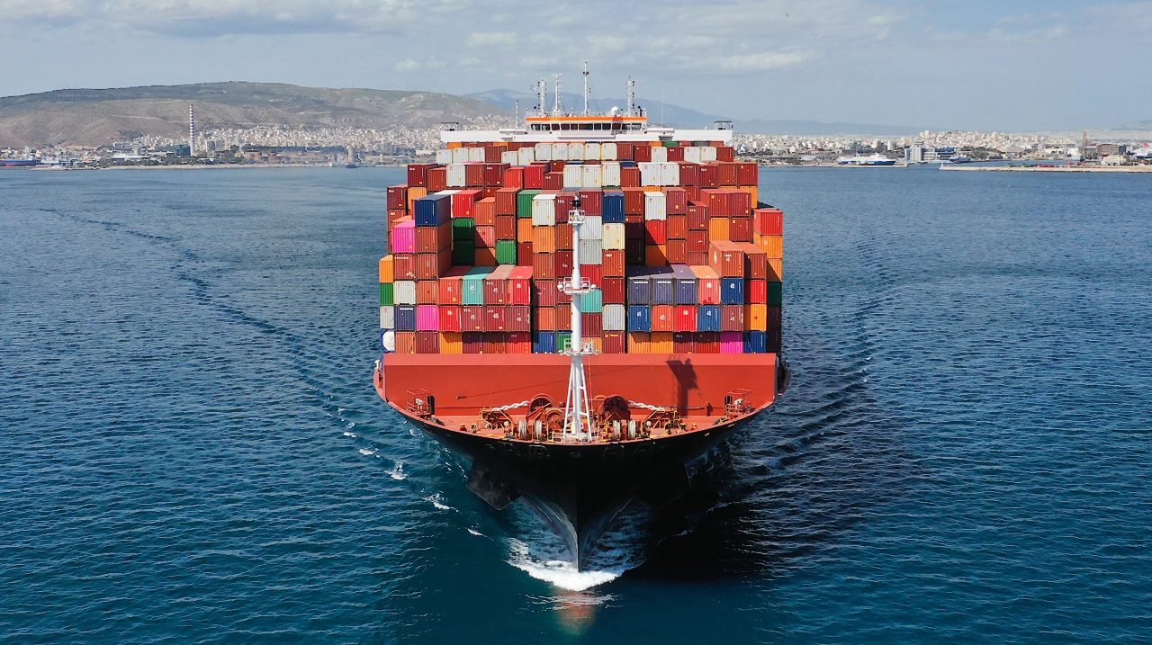
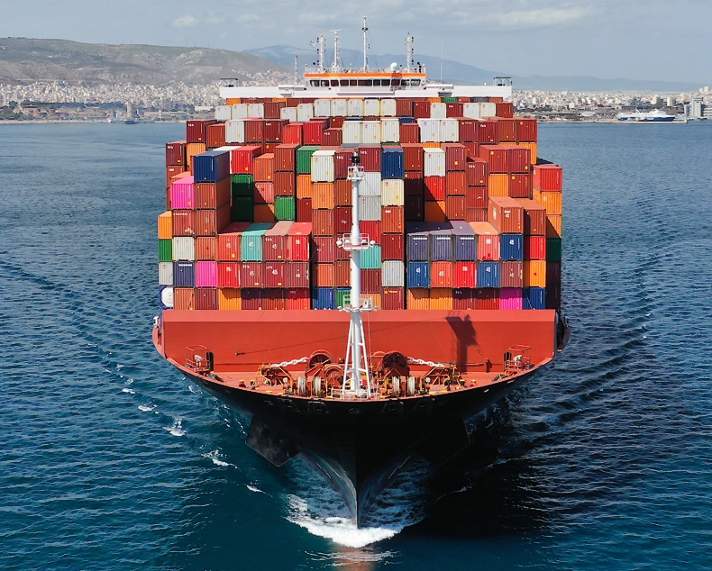
The news that vessels continue to run aground due to suspected GNSS jamming incidents further underlines the threats facing shipping globally. The MSC container vessel, MSC ANTONIA, ran aground around 100 nautical miles (nm) off the coast of Jeddah, in Saudi Arabia on 10th May, an event confirmed to be the result of GNSS spoofing by hostile actors, which manipulated navigation data and misled the crew.
This represents another example of the risks now posed to shipping in an era of heightened geopolitical tension and electronic warfare. In 2023, the Marco Polo – a passenger ferry – ran aground twice on the same journey across the Baltic Sea. Investigations found that the crew had been relying solely on their navigation system, without cross-checking against other navigation aids, leading to grounding when GNSS was compromised.
Such reliance on a single source of navigation data is too high risk given the level of GNSS interference. Studies in the Baltic have found a high frequency of spoofing and jamming events, with some lasting upwards of seven hours at a time. The variety in timing, duration, location and even methods of GNSS interference suggest an intentional and evolving threat to safe navigation through the region. Similar findings have been confirmed in the Red Sea, with UK Maritime Trade Operations (MTO) alerts about widespread GNSS disruption across the Red Sea, aligning with reports showing spoofed location “jumps” of up to 6,300 km, particularly off Sudan.
Navigational Back-Up
The UK Maritime Trade Operations (UK MTO) had issued warnings about significant GNSS interference in regions where incidents like the MSC ANTONIA grounding occur. These disruptions can last several hours, “affecting navigation systems and requiring vessels to rely on backup methods.”
Over time, crews have become increasingly reliant on GNSS as their primary source of navigational data – as a consistent, accurate and reliable source. This reliability itself has also led to complacency and erosion of traditional navigation skills, reducing crews’ ability to effectively respond when GNSS is compromised. The human element is critical here: when digital systems falter, the burden shifts abruptly to people, who may be undertrained or unprepared to manage the uncertainty manually.
When GNSS signals are degraded or spoofed, the risk extends beyond simple position error. A false sense of positional certainty can lead to delayed decision-making or incorrect course corrections. Groundings, like that of MSC ANTONIA, highlight how such uncertainty can endanger lives, cause environmental damage, and lead to inadvertently crossing international maritime boundaries, with dangerous ramifications.
Modern vessels primarily navigate using Electronic Chart Display and Information Systems (ECDIS), which must comply with the IEC 61174 standard. These systems are required to integrate inputs from the ship’s position-fixing system (e.g., GNSS), a gyrocompass, and a speed and distance measuring device (e.g., water speed sensor). Together, the gyrocompass and speed log enable ‘dead-reckoning’ – a method of estimating current position based on using a previously known location, and direction and speed estimates.
However, dead reckoning is inherently prone to drift. Sensor inaccuracies and environmental factors like currents lead to increasing positional error over time, making it unsuitable for long-term positioning without correction by external fixes (like GNSS).
Without an adequate long-term alternative to GNSS, vessels often rely on increased human-based watchkeeping to supplement severely degraded positional data. The vessel’s pilot or navigator may opt to reduce speed or gain greater sea room if the waters are hazardous, visibility low or the route is close to shore. Such decisions come at a cost – delays, commercial penalties, or reduced operational flexibility. In high-risk areas like the Red Sea, slowing down or deviating from established routes is not always practical or safe.
Enhancing Resilience Through Sensor Redundancy
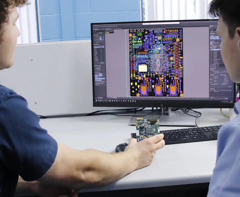
A key step in improving navigational resilience against GNSS disruption is ensuring that vessels are equipped with a diverse suite of onboard sensors capable of supporting alternative navigation methods. These systems offer independent sources of positioning, orientation, and motion data, helping crews maintain situational awareness when GNSS is unavailable, jammed, or spoofed.
Heading indicators, such as gyrocompasses and magnetic compasses, are foundational. These provide continuous directional orientation and are already standard equipment aboard most vessels. More advanced systems like Inertial Measurement Units (IMUs) – which track acceleration and angular velocity – can further support inertial navigation, providing useful data even when external references are unavailable.
These devices all enable the aforementioned dead-reckoning. The key issue with dead reckoning is compounding errors, as each new estimate of position is based on the old estimate, accumulating error over time. In order to minimise the accumulation of error, we need other sensors which offer an independent cross-check of location. Examples of shipborne sensors include:
- Radar: which can enable position fixing relative to landmasses or charted coastal features.
- Echo sounders: to measure depth beneath the keel, which can be compared with seabed contour data to assist with bathymetric positioning.
- Visual sensors: such as optical or infrared cameras, support coastal recognition or seabed feature tracking, especially when paired with automated image analysis and reference charts.
Beyond shipborne sensors, terrestrial and non-GNSS-based navigation systems offer promising avenues for further resilience include:
- eLORAN and VDES R-Mode: terrestrial radio navigation systems that transmit signals with greater power and different frequencies than GNSS, making them more resistant to interference.
- Celestial Navigation: which was once manual and time-consuming, is being revived through autonomous star tracking and sight reduction, offering yet another layer of redundancy, independent of radio or satellite systems.
Modern vessels may also employ multi-constellation GNSS receivers capable of accessing signals from GPS, Galileo, GLONASS, and BeiDou. These enhance robustness by allowing cross-checking between constellations – enabling the detection of spoofed or anomalous signals when one system behaves inconsistently.
Beyond Single Sensors: The Role of Data Fusion in Reliable PNT
In modern navigation, no single sensor can do it all. Each contributes valuable information, but also brings its own limitations. Inertial Measurement Units (IMUs), for instance, are excellent at tracking short-term movement without external references – but they drift over time. Gyrocompasses and magnetic compasses provide heading data, but the former can be disrupted by system errors and the latter by local magnetic anomalies. Radar may offer precise distance and bearing to landmarks, but returns can become cluttered or misleading in poor visibility or heavy seas. GNSS, while highly accurate under normal conditions, is increasingly vulnerable to jamming and spoofing in contested maritime regions.
This is why data fusion is not just useful, it’s essential.
Rather than depending on a single source of truth, resilient navigation systems today use a “system of systems” approach. They combine data from multiple onboard sensors, each with different failure modes and strengths, to produce a more complete, accurate, and fault-tolerant view of a vessel’s position, orientation, and movement. This integration isn’t a simple overlay; it involves real-time, algorithm-driven sensor fusion that weighs inputs, cross-validates them, and adapts to changing conditions.
Many of these systems rely on the Kalman filter, a statistical estimator, at their core. This filter continuously updates the vessel’s estimated state – including position, velocity, and heading – by analysing sensor data and predicting motion through a model. Crucially, it also tracks the uncertainty of these estimates. If one sensor begins to behave erratically – possibly due to signal degradation, mechanical failure, or spoofing – the system detects this anomaly, prioritises or excludes that input, and transitions its reliance to more reliable sensors.
For example, if GNSS input suddenly shows sharp fluctuations, but the IMU and radar-based fixes remain stable, the system can identify the GNSS as unreliable and deprioritise it, without losing navigational continuity. The fusion framework can also incorporate feedback loops: if the vessel consistently drifts from its predicted path, that discrepancy may point to external forces like current or wind, which the system can begin to factor in as part of the vessel’s motion model.
By implementing this approach, the system achieves graceful degradation, ensuring that the failure of a single sensor does not result in a complete system breakdown. Instead, while the navigation accuracy may decrease slightly, the system maintains its functionality and reliability. This real-time adaptability is a key strength of modern fusion architectures, particularly in critical environments such as narrow straits, congested ports, or geopolitically sensitive waters.
Beyond traditional sensors, these frameworks are increasingly integrating non-GNSS sources to bolster redundancy. Terrestrial radio systems like eLORAN and VDES R-Mode offer signals that are harder to jam and operate independently of satellites. Signals of opportunity such as cell towers, Wi-Fi beacons, or LEO satellite downlinks can be opportunistically used to estimate location based on signal characteristics. Even automated celestial navigation, once a highly manual task, is making a comeback through automated star tracking systems that function independently of radio frequency interference.
The end goal is layered redundancy. Each layer, whether it’s inertial, terrestrial, visual, or celestial, adds resilience to the navigation system. Together, they create a robust, adaptive architecture where no single point of failure can compromise safety or mission effectiveness.
In a maritime world increasingly influenced by contested signals, cyber threats, and environmental uncertainty, sensor fusion is not just an enhancement – it’s a necessity for ensuring future-proof navigation.
AI and the Future
As maritime navigation systems grow more complex and mission-critical, advanced simulation tools are playing a key role in their design. These platforms allow ship operators and system designers to model different sensor configurations under a wide range of conditions including GNSS denial, spoofing attacks, and environmental extremes. The result is smarter decision-making about which sensors to use for a given route, threat profile, or operational requirement.
This kind of intelligence-led planning is rapidly being enhanced by AI and emerging sensor technologies. Next-generation sensor fusion doesn’t just combine data, it learns from it. AI models can interpret complex patterns in motion, environment, and system behaviour to improve localisation accuracy and provide early warning of sensor anomalies or degradation. By dynamically adapting motion models to real-world behaviour, AI enables navigation systems to become more predictive, resilient, and self-correcting over time.
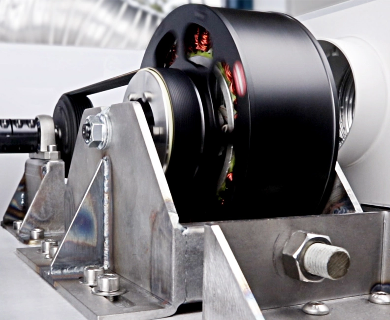
At the same time, breakthroughs in hardware are providing new opportunities for redundancy and robustness. Smaller, lower-cost IMUs make it possible to deploy multiple inertial sensors onboard, increasing fault tolerance without adding significant bulk or cost. Looking further ahead, quantum sensor technology is beginning to push the limits of navigation accuracy and independence.
Quantum accelerometers and gyroscopes, for instance, use the movement of individual atoms cooled to near absolute zero to detect motion with extreme precision. Unlike traditional inertial systems, these sensors do not require external signals, making them inherently immune to jamming, spoofing, or signal degradation. In fully denied environments, they offer a path to true standalone navigation. While still early in their development lifecycle, quantum sensors are already being tested in maritime and aerospace domains. Current challenges such as size, power requirements, and cost remain barriers to widespread deployment, but it is clear that navigation systems of the future will be smarter, more autonomous, and more resistant to disruption than ever before.
With increased contested signals and high-stakes maritime operations, combining AI-powered insight with cutting-edge sensing technologies represents progress. It moves the industry beyond reactive responses to failure, toward proactive, adaptive navigation architectures which are capable of maintaining situational awareness even in the most challenging environments.
Conclusion
The threat outlook remains high, with Dryad Global assessing an 80–90% likelihood of continued GPS jamming/spoofing incidents in the Red Sea and Gulf of Aden over the coming months. Tensions are escalating in the Baltic, as well as the Tasman Sea, West Africa and the Indian Ocean. There is growing recognition that the maritime industry cannot rely only on GNSS. Cooperation between Baltic states to safeguard shipping prompted the launch of R-Mode Baltic Sea in 2020 – a series of land-based stations transmitting ranging signals that can provide a safer, more reliable navigation solution to ships in the region. While test and development are ongoing, the system is expected to be operational by 2026.
For vessel owners globally, navigation resilience can only be achieved through redundancy and diverse data sources. Investment in multi-layered navigation frameworks that combine input from multiple sensors and sensor types can deliver the continuous long- and short-term navigation accuracy required when GNSS is degraded or denied.
There is a growing recognition of the need to focus not only on accurate location but an understanding of positional error. Now that advanced navigation frameworks are able to continuously estimate and correct for these errors, positional data remains accurate and reliable for long journeys. For maritime operators, the adoption of these technologies is becoming essential not just for safety and operational continuity, but also for compliance and resilience in an increasingly contested and technologically complex environment.
Need to protect against GNSS disruption? Contact Plextek to learn how our navigation solutions can keep you on course.
Custom Motor Control Solution for Connected Fitness Equipment
Plextek developed a bespoke BLDC motor control solution for connected fitness equipment, delivering exceptionally low torque ripple and seamless system integration.
Read More

Overcoming Training Data Bottlenecks in Thermal Imaging with Transfer Learning
Plextek's automated transfer learning approach generates labelled thermal datasets using colour camera AI models, eliminating costly manual annotation.
Read More
Using AI to Detect and Classify RF Signals in a Congested Environment
Developing AI-based RF signal classification systems, from algorithm development through to embedded real-time processing solutions
Read More

Concealed object detection for real-time parcel security screening
Concealed object detection for real-time parcel security screening with mmWave sensor design and manufacture, and real-time AI processing
Read More

Enhancing network efficiency with ML & RL
Enhancing Mobile Ad-Hoc Network Routing with GNN-Driven DRL Agent: Improving Packet Delivery and Adaptability in Dynamic Environments
Read More
Optimising Radar Training with Machine-Assisted Machine Learning
See how Plextek is optimising radar training using automating data labelling & machine-assisted machine learning
Read More

Semantic Segmentation in Visual Scene Matching
Learn how we boost accuracy in Visual Scene Matching with Semantic Segmentation, aiding navigation and tracking in dynamic environments.
Read More

Harsh Environment Inductive Coupling Solutions for Emerson
Discover how our technical expertise in inductive coupling facilitated Emerson in setting industry benchmarks for efficiency and reliability in harsh environments.
Read More
Machine Learning for Rapid Propagation Assessment
Developing a groundbreaking ML model for swift and efficient coverage prediction in complex urban environments, enabling rapid optimisation of transmitter locations on standard computing hardware.
Read More

Cost-Effective Improvement in mmWave Intensity
Enhancing the mmWave antenna design for Remedee Labs, significantly boosting RF radiation efficiency and cost-effectiveness in non-pharmaceutical chronic pain treatment.
Read More

Game-Changing Radar for the CLEAR Mission
Developing vital radar technology for the CLEAR mission, advancing space debris removal techniques to safeguard operational satellites and spacecraft.
Read More
Future Sensing: Improving Mobile Ad-hoc Networks
Leading a transformative four-year research initiative to improve mobile ad-hoc networks through advanced directional antenna systems and cross-layer processing, significantly enhancing military communication capabilities.
Read More

Defence
Delivering advanced engineering solutions to address critical defence challenges, for enhanced safety and operational efficiency through innovation
Electromagnetic Warfare
Providing RF expertise and electromagnetic warfare solutions for defence applications in contested environments

Alternative Navigation
Providing a lifeline in environments where traditional global navigation satellite systems (GNSS) are ineffective or unavailable

Radar Technology
Plextek’s cutting-edge radar technology offers exceptional capabilities for defence and security sectors